
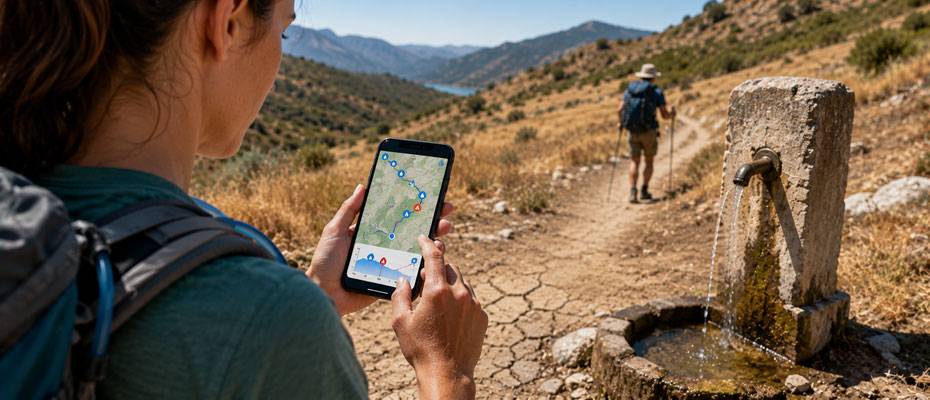
The prolonged drought affecting large parts of Europe is also becoming a concrete problem for hikers and cyclists. Water sources, fountains, and other water points marked on maps may not always have water. The Swiss-based community app droply aims to show water sources along the way and long dry sections by analyzing existing routes with its new Navigator feature.
The launch of the new app coincides with an exceptionally dry summer in Europe. According to European Environment Agency data, in the last ten days of July 2026, approximately 35 percent of the total area of the agency's 38 member and cooperating countries was affected by drought. While drought conditions were recorded in 37 countries, according to Copernicus data, Austria and Czechia experienced their driest spring since measurements began.
Over 800,000 Water Points in the Database
The new droply Navigator processes routes in GPX format and compares the itinerary with a database containing over 800,000 water points worldwide. The information is obtained from both user reports and various data sources.
Users can see where the next water point is on their planned route, its distance, and how much they need to deviate to reach it. The app also shows sections where there are no water points for a long distance.
Thanks to the ability to download routes before a trip, information can also be used offline in areas without mobile connectivity.
Up-to-Date Information Comes from the User Community
One of the system's main challenges is keeping information about water points up to date. Especially the situation at springs and small water points can change rapidly during long periods of drought. For this reason, droply relies on users checking in at water points to verify the current status, upload photos, and assess the reliability of the source.
In return for these contributions, the platform awards points to users. This aims to go beyond static map water points and continuously update the actual conditions along the route.
“When a source dries up, the missing water is only half the story. The other half is that the map might still say there's water there. We developed Navigator so hikers know what's truly ahead of them, not what was there in the past,” says Micha, co-founder and software engineer at droply.
Not a New Route Planner
Navigator does not aim to compete with classic route planning apps. The system provides additional information about water sources along a route, based on an itinerary already determined by the user.
Nathalie, co-founder and product designer at droply, says, “We didn't want to develop another route planner. We wanted to know what water sources were available on a route we already had. This year, that question is more important than ever.”
Navigator Offered as Part of droply PRO
droply Navigator, available for iOS and Android, is part of the new paid droply PRO package. The package includes Navigator as well as offline maps.
Payment options for droply PRO include a one-time fee of 29 euros or an annual fee of 9.80 euros; there is no monthly subscription. Users who collect at least 100 droply points through check-ins and photo contributions can use the PRO version for one year free of charge.
The basic map showing water points, the check-in feature, and community notifications continue to be offered for free. Image: © AI-generated image
Comments
0 commentsNo comments on this article yet. Be the first!